|
|
|
|||||||||||||||||||||||||||||||||||||||||||||||||||||||||||||||||||||||||||||||||||||||||||||||||||||||||||||||||||||||||||||||||||||||||||||||||
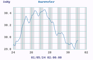
 30.123
  30.033


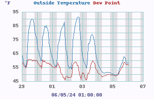
 97.7
97.7 70.4
70.4
| NWS Weather Forecast - Outlook Tonight & Saturday | |||||||||||||
|


|
|
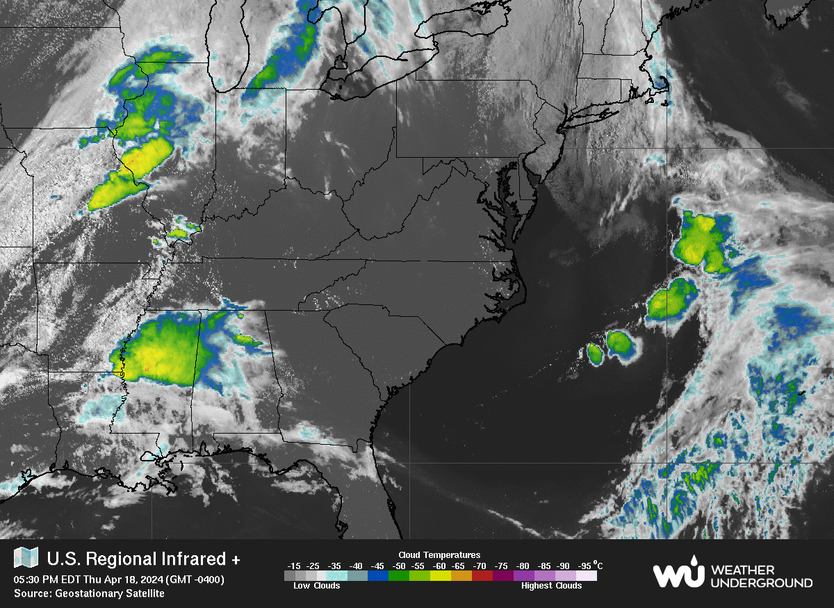
| Radar/Satellite images courtesy of Weather Underground. | |
|
|
|
|||||||||||||||||||||||||||||||||||||||||||||||||||||||||||||||||||||||||||||||||||||||||||||||||||||||||||||||||||||||||||||||||||||||||||||||||
| NWS Weather Forecast - Outlook Tonight & Saturday | |||||||||||||
|
|
|
|
| Radar/Satellite images courtesy of Weather Underground. | |