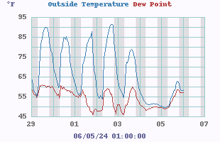
| Outside Temperature |
| Temp: |
75.5°F

|
| Humidity: |
45% |
| High: |
82.2°F @ 3:06pm |
| Low: |
43.2°F @ 7:40am |
Comfortable
Feels like:
75.5°F
24-hr difference --
-0.3°F |
|
| Records |
Highs: |
Lows: |
| Yesterday: |
80.6°F |
38.3°F |
| 3:51pm |
7:45am |
| Record: |
105.6°F |
18.3°F |
| 07/16/2024 |
02/20/2024 |
Daytime
Records: |
°F
7/16/2024 |
°F
2/18/2024 |
Nitetime
Records: |
°F
7/06/2024 |
°F
2/20/2024 |
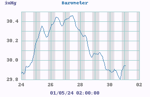
| Barometer |
|
| Current: |
30.171 inHg
|
| 1-Hr Trend: |
Steady
|
| 3-Hr Trend: |
Steady |
| Today: |
 30.362 30.362
30.170 |
| Record High: |
31.100 inHg
02/18/2024 |
| Record Low: |
29.260 inHg
04/12/2024 |
| Heat Index |
|
| Current: |
74.8°F
|
| Today: |
81.2°F
15:06
|
| Yesterday: |
79.6°F |
| Last Week: |
81.2°F |
| Record: |
114.5°F
06/22/2024 |
| Air |
Quality Index:
49

Density: 1.160 kg/m |
| Fire Risk |
| Chandler Burning Index |
 |
Currently: 26.3 at 17:55
|
|
|
| Storm Prediction |
Tonight

Low: 42 °F Mostly Clear
|
Wednesday

High: 78 °F Sunny
|
Wednesday
Night
Low: 46 °F Mostly Clear
|

|
|
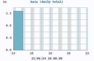
| Rain |
|
| Today |
0.00 in
|
| Yesterday: |
0.00 in
|
| Last 7 Days: |
0.11 in
|
| Oct Rain: |
1.02 in
|
| Oct Avg: |
0.00 in
|
| YTD: |
30.29 in
|
|
92 rain days in 2024 |
8 days in October
|
| UV Summary/Forecast |
Tue 22

3.5
Burn Time:
50 min
|
Wed 23
3.7
Burn Time:
50 min |
Thu 24

3.2
Burn Time:
50 min |
|
|
| Cloud Height |

|
|
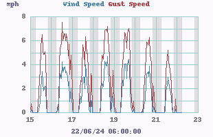
| Wind |


|
Light Air
Average: 1 S
Gust: 4 |
| 1Hr Average: |
2 mph |
| Wind Run: |
17.7 miles |
| Wind Gust |
| Today: |
7 mph 3:24pm |
| Month: |
27 mph 10/14/2024 |
| Year: |
31 mph 04/12/2024 |
| Record Gust: |
31 mph 04/12/2024 |
|
| Humidity/Dew Point |
| Humidity: |
45% |
| Humidex: |
79.1°F |
| Today: |
85.9
 43.2 43.2
|
| Dew Point: |
52.7°F |
| Wetbulb: |
62.4°F |
| Record High: |
99%
02/22/2024 |
| Record Low: |
19%
07/14/2024 |
| Sun/Moon |

|
10 hrs 52 min of Daylight Today
Light = 45.3%
Dark = 54.7%
Sun rise: 7:30am
Sun set: 6:22pm |
|
| NWS Weather Forecast -
Outlook Tonight & Wednesday |
Tonight
Low: 42 °F
Mostly Clear
|
NWS forecast: Mostly clear, with a low around 42. Light south wind.
|
Wednesday
High: 78 °F
Sunny
|
NWS forecast: Sunny, with a high near 78. Calm wind becoming southwest 5 to 7 mph in the afternoon. |
| NWS Short Term Weather Forecast |
Wednesday
High: 78 °F
Sunny
|
Wednesday
Night
Low: 46 °F
Mostly Clear
|
Thursday

High: 63 °F
Sunny
|
Thursday
Night

Low: 33 °F
Clear
|
Friday
High: 67 °F
Sunny
|
Friday
Night

Low: 47 °F
Partly Cloudy
then Chance
Showers
|
Saturday

High: 67 °F
Chance
Showers then
Mostly Sunny
|
Saturday
Night
Low: 36 °F
Partly Cloudy
|
|